
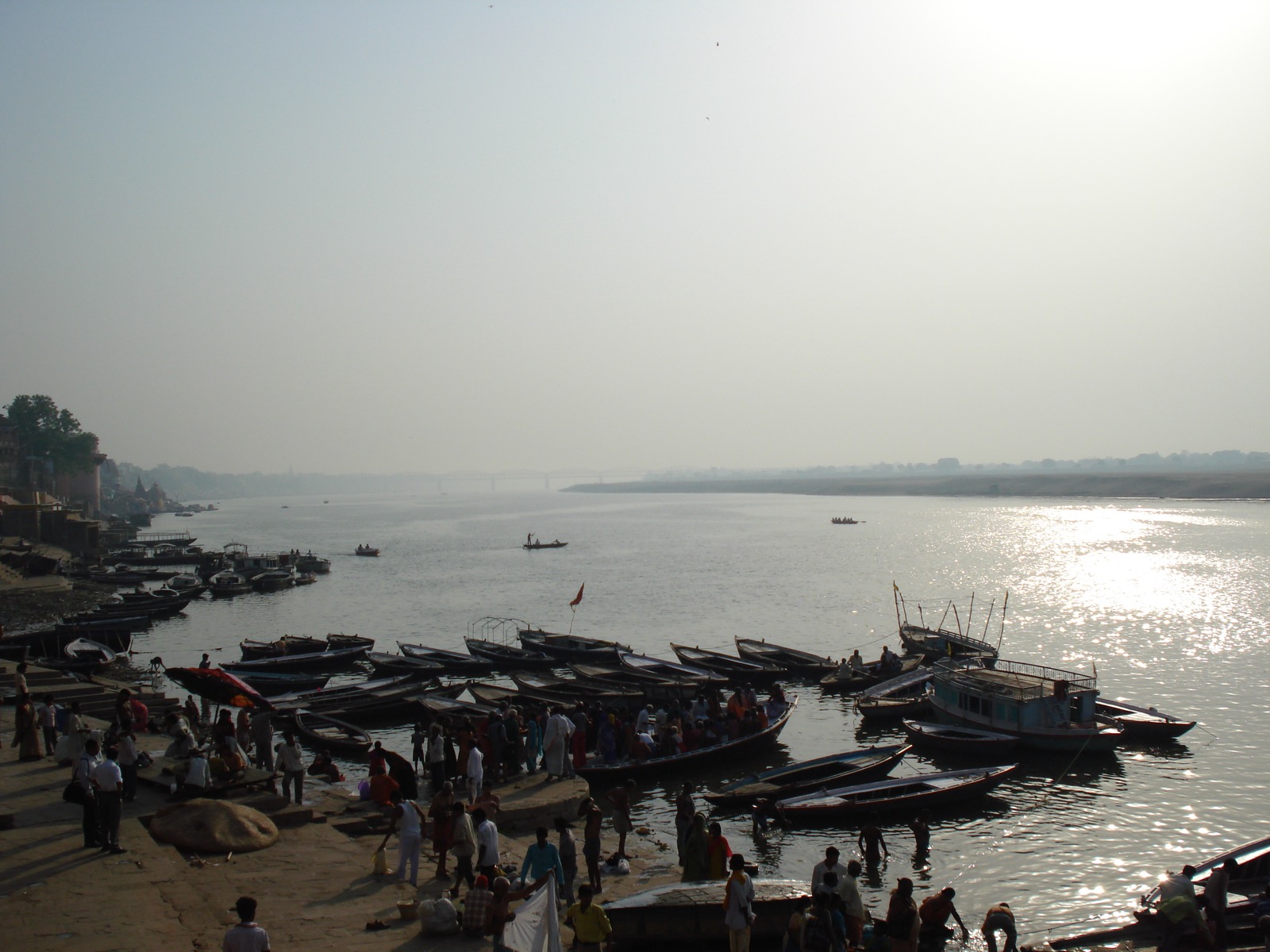
For decades, Indian cities have treated their rivers the way most growing cities do — as drains, as afterthoughts, as something to build a ring road alongside rather than a place to build a city around. The National Mission for Clean Ganga (NMCG) is now trying to formally reverse that habit. Working with the National Institute of Urban Affairs (NIUA), NMCG has completed Urban River Management Plans (URMPs) for 13 cities across the Ganga basin, with work underway on 27 more under a World Bank-backed Phase-I and 33 additional cities under Phase-II — taking the total in motion to 60 cities, with an eventual ambition of covering all 97 cities that sit along the Ganga’s main stem.
The idea traces back to a moment in December 2019, when Prime Minister Narendra Modi told the National Ganga Council in Kanpur that Indian urban planning needed to stop being “city-centric” and start being “river-centric” — designing cities around their rivers rather than treating rivers as leftover space within cities. Five years on, that instruction has turned into an actual planning framework, and the framework has started producing rules with teeth.
What a URMP actually does
A URMP isn’t a single intervention — it’s a ten-point playbook covering floodplain regulation, pollution abatement, wetland and water-body rejuvenation, riparian buffer protection, treated-water reuse, eco-sensitive riverfront design, and sustained citizen engagement, tailored city by city rather than applied as a template. The pilots that proved the concept — Ayodhya, Kanpur, and Chhatrapati Sambhaji Nagar — already show what that looks like on the ground: in Kanpur, the URMP process led to an enforceable 100-metre no-development buffer along the Ganga and a 30-metre buffer along the Pandu river, a concrete regulatory outcome that goes well beyond a plan sitting in a government office.
That matters because the scale of the underlying problem is still large. India treats only an estimated 28% of the urban sewage it generates, and independent monitoring has found that a significant share of existing sewage treatment plants fail to meet discharge norms even where they exist — less a story of missing infrastructure than of infrastructure that was never planned around how a river and a city actually interact. URMPs are an attempt to fix that at the planning stage, before another generation of disconnected sewage lines and unplanned riverfronts gets built.
Different rivers, different stories
What stands out in the latest expansion is how specific each city’s plan is to its own river. In Uttarakhand, Haldwani-Kathgodam’s plan reconnects the city to the Gaula river through riparian buffers and flood interventions, while Ramnagar is positioning the Kosi river as part of the Corbett eco-tourism corridor, with biodiversity-oriented riverfronts and avian parks designed to support local livelihoods alongside conservation. In Rishikesh, the plan leans into wetland restoration and sewerage upgrades.
Uttar Pradesh’s cities are tackling flood resilience and cultural rejuvenation in parallel: Gorakhpur is using a “blue-green infrastructure” approach — sponge parks, bioswales, constructed wetlands — while Prayagraj’s plan reimagines its rivers as “Living Heritage Corridors” around the Sangam. In Bihar, Buxar, Chapra, and Gaya are each addressing a different river challenge: an eco-sensitive Ganga riverfront, flood and morphology management, and restoration of the Falgu’s hydro-ecology through groundwater recharge and phytoremediation.
In Kanpur, the plan has moved into active implementation — the city is reviving a degraded urban watercourse, and using a system called LAMAS (Lake Assessment and Monitoring Analysis System) to track and restore the health of its water bodies, turning the URMP from paperwork into something measurable on the ground.
Why this is worth watching
River-sensitive urban design isn’t a uniquely Indian idea, but what makes India’s version notable is the sheer scale of intent: a coordinated, ten-point framework being rolled out simultaneously across nearly five states and dozens of cities with wildly different rivers, climates, and cultural relationships to water. Thirteen completed plans and a Kanpur buffer zone are a small first step against a target of 97 cities. But for a Ganga basin where faecal coliform levels have measurably fallen in some stretches over the past decade, a planning framework that puts the river back at the centre of how a city grows — rather than as an obstacle to it — is the kind of unglamorous groundwork that sustainable development stories are usually made of.
Source: Press Information Bureau, Government of India (PRID 2277477)