
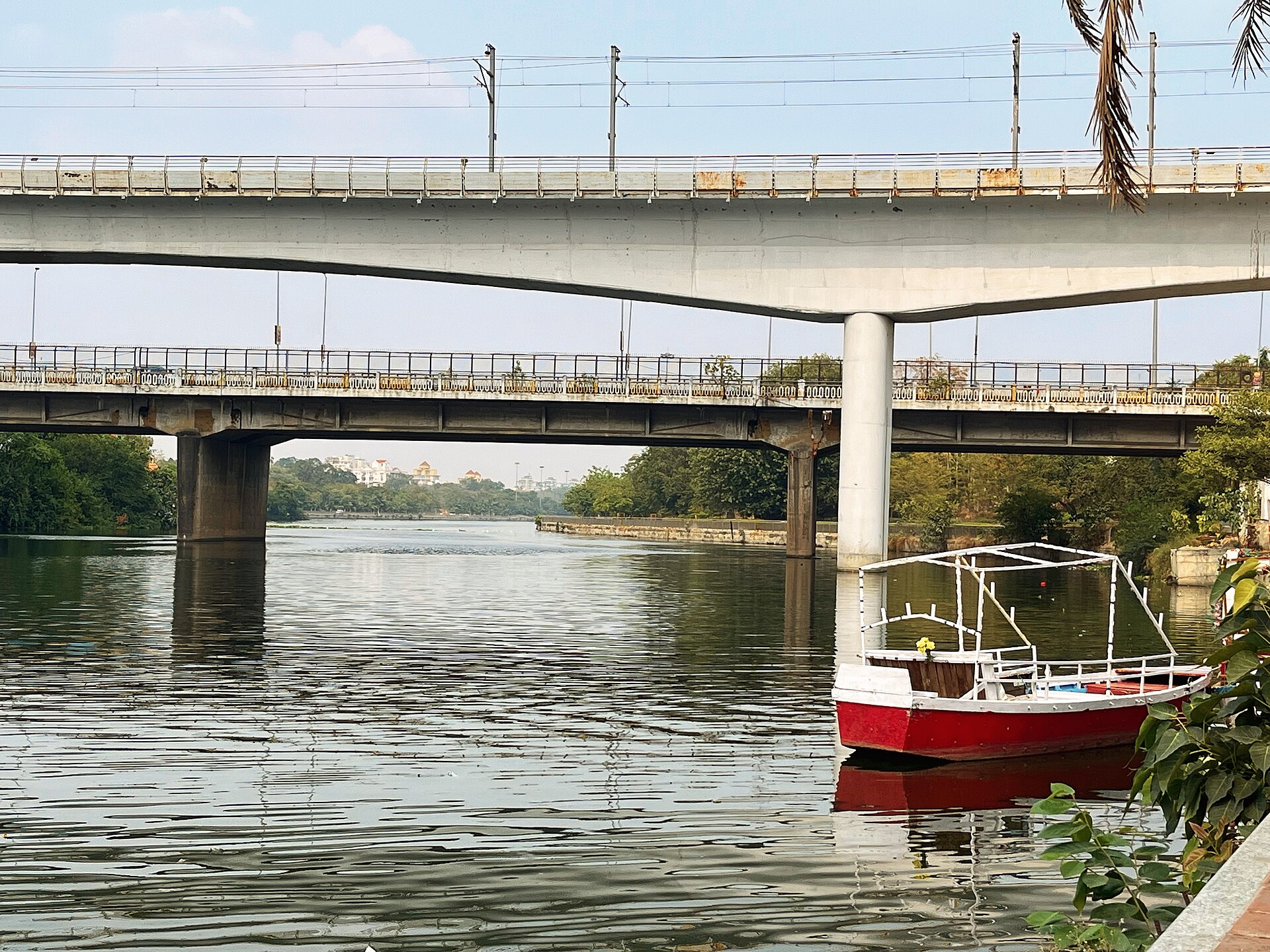
Mud at the bottom of a small oxbow lake near Lucknow has turned out to be a diary of the Indian monsoon. Researchers at the Birbal Sahni Institute of Palaeosciences (BSIP), an institute of the Department of Science and Technology, have reconstructed 4,600 years of climate and environmental change from sediments of Karela Lake at Hulas Khera, and tied it to how early farming communities coped.
How they read the lake
The team combined stable carbon and nitrogen isotopes, vegetation records (pollen), grain-size analysis and radiocarbon dating, alongside records from the nearby Hulas Khera archaeological site. They identified four major environmental phases linked to known climate events, including the 4.2 ka arid event, the Roman Warm Period and the Little Ice Age. The study appears in the Journal of Asian Earth Sciences.
What they found
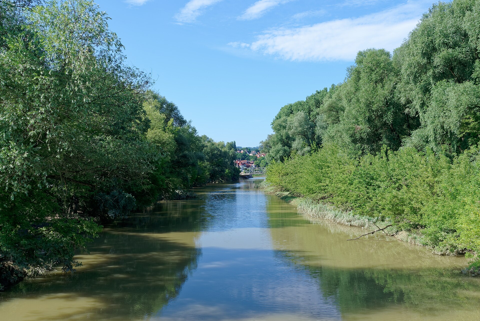
Swings in the Indian Summer Monsoon shaped lake levels, how sediment moved, shifts between C3 and C4 vegetation, the make-up of organic matter, microbial activity and the adaptation strategies of early farmers in the Central Ganga Plain. The work also points to flooding imprints during the colder Little Ice Age, linked to westerly-wind moisture.
Why it matters now
The Ganga Plain is one of India’s most densely populated and agriculturally important regions, so a long baseline matters. The researchers say such records can feed climate modelling, wetland conservation, water-security planning, disaster risk reduction and adaptation. The lesson is humbling: farming societies here have repeatedly had to adapt to a shifting monsoon, and small oxbow lakes, often overlooked or encroached upon, are valuable climate archives worth protecting. Our recent coverage of India’s newest Ramsar wetlands shows why such water bodies matter, and you can find more in India sustainability news.
Source: Press Information Bureau, Government of India. Study: https://doi.org/10.1016/j.jseaes.2026.107129