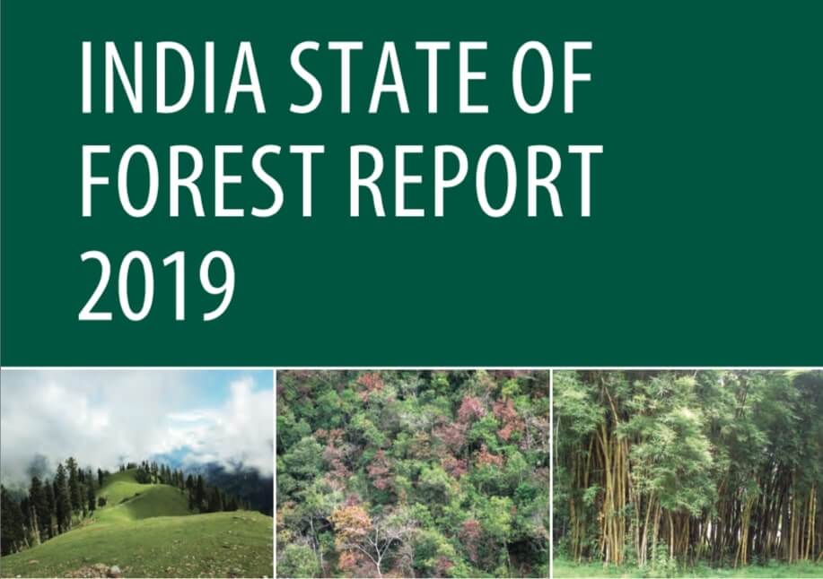
India State of Forest Report 2019 Released
On 30th December 2019, Union Minister for Environment, Forest and Climate Change (MOEFCC), Shri Prakash Javadekar released “India State of Forest Report 2019 (ISFR 2019)”, in New Delhi. ISFR is a biennial publication of Forest survey of India (FSI), an organisation under MOEFCC, engaged in the assessment of the country’s forest resources.
The first State of Forest Report was brought out in 1987. Since then, 15 such assessments have been completed and the current assessment is the 16th in the series. The report provides state/district wise forest cover of the country and changes thereon with respect to the previous assessment. It also provides the estimates of growing stock within and outside the forest areas, forest cover in hill, tribal and north eastern states, carbon and other important aspects such as tree, bamboo and mangrove cover.
Some Findings of India State of Forest Report 2019
- The total forest cover of the country is 7,12,249 sq km which is 21.67% of the geographical area of the country. The tree cover of the country is estimated as 95,027 sq km which is 2.89% of the geographical area.
- The total Forest and Tree cover of the country is 8,07,276 sq km which is 24.56% of the geographical area of the country.
- Mizoram (85.41%) has highest percentage of total geographical area under Forest cover.
- Union Territory of Laddak (1.47%) has least percentage of total geographical area under Forest cover.
- The top five States in terms of Total Forest and Tree cover are:
- Madhya Pradesh (77,482 sq km),
- Arunachal Pradesh (66,688 sq km),
- Chattisgarh (55,611 sq km),
- Odisha (51,619 sq km),
- Maharashtra (50,778 sq km)
- The top five States in terms of increase in forest cover are:
- Karnataka (1,025 sq km),
- Andhra Pradesh (990 sq km),
- Kerala (823 sq km),
- Jammu & Kashmir (371 sq km) and
- Himachal Pradesh (334 sq km).
- In the #ISFR2019, a new chapter ‘Forest Types and Biodiversity’ has been added which presents findings of the forest type mapping based on Champion & Seth classification (1968).
- Karnataka has maximum species richness for trees,
- Arunachal Pradesh has maximum species richness for shrubs
- Jammu & Kashmir has maximum species richness for herbs.
- Arunachal Pradesh has the maximum richness of species when all the three types of plants are taken into account, followed by Tamil Nadu and Karnataka.
- Forest cover in the hill districts of the country is 2,84,006 sq km, which is 40.30% of the total geographical area of these districts.
- The total forest cover in the tribal districts is 4,22,351 sq km, which is 37.54% of the geographical area of these districts.
- Total forest cover in the North Eastern region is 1,70,541 sq km, which is 65.05% of its geographical area. Except Assam and Tripura, all the States in the region show decrease in forest cover.
- Mangrove cover in the country has increased by 54 sq km (1.10%) as compared to the previous assessment.
- The total growing stock of wood in the country is estimated 5,915.76 million cum comprising 4,273.47 million cum inside forest areas and 1,642.29 million cum outside recorded forest areas (TOF).
- Total bamboo bearing area of the country is estimated as 1,60,037 sq km. There is an increase of 3,229 sq km in bamboo bearing area as compared to the estimate of ISFR 2017.
- In the present assessment, total carbon stock in forest is estimated as 7,124.6 million tonnes.
- There are 62,466 wetlands covering 3.83% of the area within the RFA/GW of the country. Amongst the States, Gujarat has largest area of wetlands within RFA in the country followed by West Bengal.
- Dependence of fuelwood on forests is highest in the State of Maharashtra, whereas, for fodder, small timber and bamboo, dependence is highest in Madhya Pradesh.
- The analysis reveals that 21.40% of the forest cover of the country is highly to extremely fire prone.
Forest and Tree cover of India in 2019

| Class | Area (Square Kms) | Percentage of Geographical Area |
| Forest Cover | ||
| Very Dense Forest | 99,278 | 3.02 |
| Moderately Dense Forest | 3,08,472 | 9.38 |
| Open Forest | 3,04,499 | 9.26 |
| Total Forest Cover (1) | 7,12,249 | 21.67 |
| Tree Cover | 95,027 | 2.89 |
| Total Forest & Tree Cover | 8,07,276 | 24.56 |
| Scrub | 46,297 | 1.41 |
| Non-Forest (2) | 25,28,923 | 76.92 |
| Total Geographical Area | 32,87,469 | 100 |
- Includes 4,975 sq. kms under Mangrove Cover
- Non-forest includes Tree Cover (Percentage rounded off)
India State of Forest Report 2019 – Map of India

References:
- Images & Data – IFSR 2019 – RajRAS
- India State of Forest Report 2019 | IFSR 2019 –


